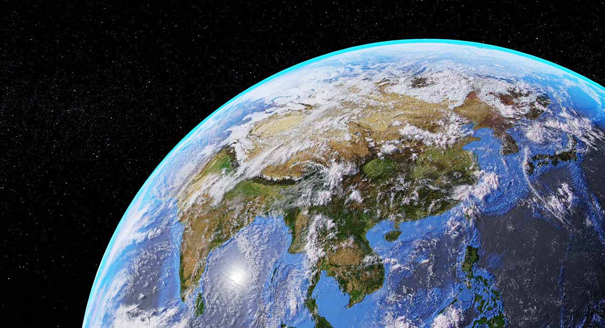
Ever wondered what our planet whispers when no one’s listening? From its swirling ocean currents to the pulse of bustling cities, Earth constantly tells a story. But how do we convert this narrative when we’re stuck down here, surrounded by chaos and complexity?
Enter the silent lookout orbiting above: satellites. Armed with advanced vision, they capture more than just breathtaking images. They gather invaluable data, whispering secrets about our planet’s health, hidden patterns, and the potential for a sustainable future.
This isn’t science fiction; it’s the reality of satellite imagery, a powerful tool with the potential to revolutionize the way we interact with our planet. Ready to dive deeper and discover how Earth’s whispers become our roadmap to a thriving tomorrow? Buckle up, and let’s begin.
From Landscapes to Lifestyles: How Satellites Inform Sustainability
Forget the static image on the wall – think of satellite imagery as a dynamic, evolving report card for our planet. This constant stream of data offers invaluable insights into a spectrum of critical areas, paving the way for a more sustainable future:
1. Land Use & Deforestation: More than just pretty pictures, satellite images track forest cover changes, helping us protect biodiversity, mitigate climate change, and understand the impact of human activities.
2. Ocean Health: Like taking the planet’s pulse, satellites monitor sea surface temperature, chlorophyll levels, and other vital signs, revealing the health of our oceans – crucial for food security and climate regulation.
3. Precision Agriculture: Farming smarter, not harder. Satellite data empowers farmers to optimize resource use, minimize waste, and adapt to changing weather patterns, leading to sustainable and efficient food production.
4. Disaster Preparedness: Be prepared, not scared. Real-time satellite monitoring detects floods, wildfires, and other natural disasters early, giving communities precious time to react and minimize damage.
5. Urban Planning & Management: Cities are living, breathing entities. Satellite imagery helps us understand urban growth patterns, optimize infrastructure development, and manage resources efficiently, creating more sustainable urban environments.
6. Climate Change Monitoring: Witnessing the Earth’s changing climate firsthand. Satellites track global temperature changes, ice melt, and sea level rise, providing crucial data for understanding and mitigating climate change’s impact.
7. Water Resource Management: Every drop counts. Satellite data monitors water levels in rivers, lakes, and aquifers, enabling sustainable water management and ensuring this vital resource is used wisely.
8. Pollution Tracking & Control: Seeing the unseen. Satellites detect and track air and water pollution sources, empowering authorities to take targeted action and protect public health and the environment.
The Power of Collaboration: Unlocking Earth Observation for All
Think a treasure chest overflowing with insights into our planet’s health. That’s essentially what satellite data represents. But just like a locked chest, its true potential lies in collective action. Here’s where Envision Beyond steps in, unlocking this treasure through:
Data Democratization: We break down barriers, providing user-friendly platforms to individuals, organizations, and governments that can leverage satellite data for sustainability initiatives. No more being locked out by technical complexities!
Knowledge Catalyst: We’re not just data providers, we’re connectors. We bring together experts, data providers, and users, fostering knowledge sharing and igniting innovation based on this valuable resource. Collaboration sparks collective brilliance!
Policy Powerhouse: We don’t just talk, we advocate. We raise awareness about the importance of Earth observation, pushing for its inclusion in policy making and decision-taking processes. Let’s translate insights into action!
Empowering Action: We believe knowledge is power, but only when acted upon. We equip communities with the tools and resources they need to translate satellite data into concrete sustainability solutions. Let’s turn insights into impact!
Building a Sustainable Future, Together: We recognize that sustainability is a global challenge, and we embrace a collaborative approach. Join us in building a network of passionate individuals and organizations, working together to ensure a healthier, more sustainable future for generations to come.
Remember, the power of Earth observation isn’t just in the data – it’s in the collective action it inspires. Let’s join forces and unlock the true potential of satellite imagery for a thriving planet.
So, the next time you look up at the night sky, remember that the silent observers orbiting above are playing a vital role in shaping a more sustainable future for us all. By harnessing the power of satellite imagery, we can gain a deeper understanding of our planet, make informed decisions, and collectively chart a course towards a healthier, more resilient Earth.
Join the movement! Envision Beyond invites you to explore the world of satellite imagery and discover how you can contribute to a sustainable future. Visit our website, and let’s use the power of space-based observations to build a better tomorrow, together.
