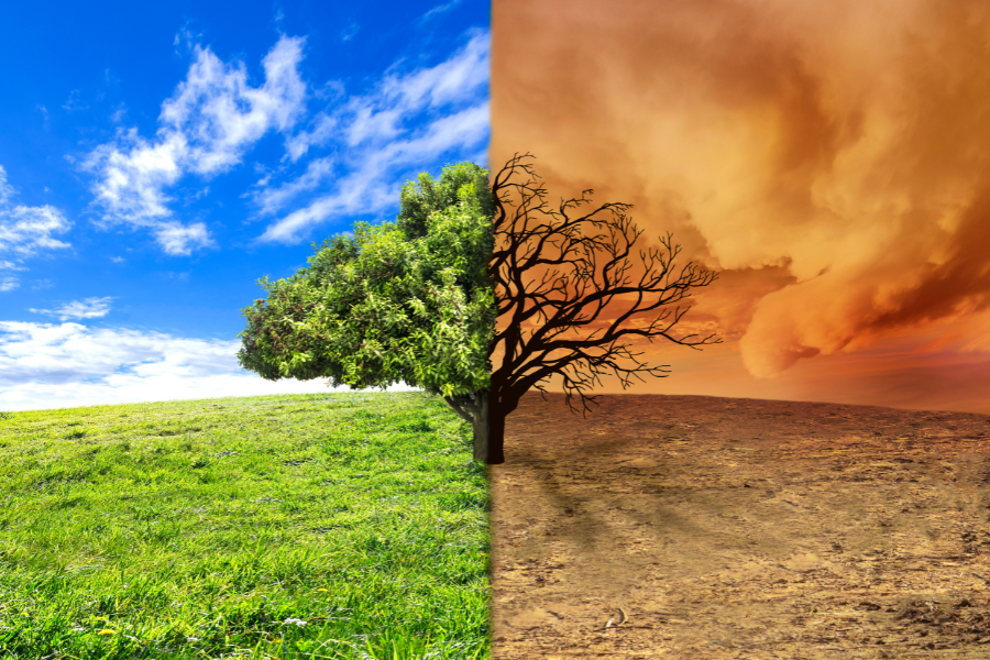
Climate change poses a challenge, in today’s world. With the rise in temperatures and unpredictable weather patterns, finding solutions has become more urgent than ever before. Geospatial data, offering thorough insights into the Earth’s surface is now recognized as an asset in combating climate change.
The Role of Geospatial Data in Climate Monitoring
Enhancing Climate Prediction Accuracy
Geospatial data plays a role in improving the accuracy of climate predictions. By combining satellite images sensing information and geographic data systems (GIS) scientists can develop models that forecast future climate conditions. These models assist policymakers in comprehending consequences and making informed decisions to address negative impacts.
Monitoring Changes in the Environment
Geospatial data enables the observation of shifts. Whether its deforestation, desertification melting ice caps or rising sea levels this data offers real time insights into the changing face of our planet. Through identifying and analyzing these transformations we gain an understanding of the speed and consequences of climate change.
Tracking Air and Water Quality
Geospatial data is crucial for monitoring air and water quality. By mapping out pollutants and pinpointing sources of contamination targeted measures can be taken to enhance well being. This surveillance is critical for safeguarding ecosystems and human health.
Evaluating Loss of Biodiversity
Preserving biodiversity is essential for upholding equilibrium. Geospatial data aids in evaluating biodiversity depletion by mapping out habitats and monitoring species populations. This knowledge is indispensable for conservation initiatives and devising strategies to protect endangered species.
Unraveling Climate Trends
Geospatial data offers insights into climate trends across time periods. Researchers can use data and current trends to spot long term changes and anticipate shifts. This understanding is crucial, for crafting strategies to address the impacts of climate change.
Enhancing Disaster Preparedness and Response
Early Warning Systems
One of the advantages of information is its contribution to early warning systems. By monitoring weather patterns and natural events like hurricanes, floods and wildfires geospatial data can alert communities at risk in advance. This timely notification is vital for saving lives and reducing property damage.
Enhancing Disaster Response
Following a disaster geospatial data facilitates the coordination of response efforts. It offers maps of affected areas, pinpoints the severely impacted regions and aids in the efficient distribution of resources. This focused approach ensures that aid reaches those in need promptly and efficiently.
Identifying Vulnerable Areas
Geospatial data assists in identifying regions to natural disasters. By pinpointing high risk zones authorities can implement measures such as constructing infrastructure and developing evacuation plans to mitigate potential harm and loss of life.
Effective Resource Management
Efficient allocation of resources is essential for disaster response. Geospatial data provides insights into the hit areas enabling deployment of resources like food, water, medical supplies and rescue teams. This guarantees that assistance reaches areas first.
Recovery Post Disaster
Geospatial information plays a role in disaster recovery by delivering precise assessments of damage incurred. This data assists in determining which areas should be focused on for reconstruction, obtaining funding and developing strategies, for long term recovery to strengthen resilience, against future calamities.
Supporting Sustainable Land Management
Precision Agriculture
The use of data is revolutionizing agriculture by employing precision farming methods. By examining the health of the soil, the status of crops and weather patterns farmers can make informed decisions to enhance their crop yields. This strategy does not boost food production. Also lessens the negative impact on the environment caused by farming practices.
Urban Planning and Green Spaces
Urban areas significantly contribute to climate change as they consume levels of energy and produce pollution. Geospatial data assists in planning by pinpointing suitable locations for green spaces, optimizing public transportation routes and enhancing waste management systems. These initiatives help in lowering a city’s carbon footprint and improving the quality of life for its inhabitants.
Forest Management
Forests play a role in capturing carbon emissions and safeguarding biodiversity. Geospatial data is instrumental in managing forests by monitoring deforestation rates, keeping track of logging activities and planning reforestation projects. This ensures that forests can continue to offer ecosystem services.
Soil Conservation
Maintaining soil is essential for land practices. Geospatial data aids in evaluating soil erosion, fertility levels and degradation issues. By mapping out these factors land managers can implement conservation techniques that preserve soil health and productivity thereby supporting agriculture efforts and preventing land deterioration.
Water Resource Management
Geospatial data plays a role in managing water resources. By analyzing watershed areas keeping tabs on water consumption and observing drought situations we can create plans to guarantee the management of water resources. This is essential for bolstering agriculture, preserving ecosystems and delivering drinking water to communities.
Promoting Renewable Energy Solutions
Exploring Ideal Sites
The shift towards energy sources like solar and wind is crucial in the fight against climate change. Geospatial data plays a role in pinpointing the locations for setting up renewable energy systems by studying factors such as sunlight exposure, wind patterns and land suitability. This approach aims to optimize resource utilization and enhance energy generation efficiency.
Monitoring Renewable Energy Performance
After the installation of energy systems geospatial data remains instrumental in monitoring their effectiveness. By keeping track of energy production levels and identifying any issues this data ensures that renewable energy setups function at their best contributing towards a future for energy.
Incorporating Energy into the Power Grid
Geospatial data aids in integrating energy sources into the existing power grid. Through an analysis of energy consumption trends and transmission infrastructure effective plans can be made for the distribution of power. This strategy helps to balance supply and demand, reduce dependence on fuels and improve grid reliability.
Planning Offshore Wind Farms
Offshore wind farms present opportunities for generating power. Geospatial data assists in planning these projects by assessing seabed conditions, evaluating impacts and identifying locations for installing turbines. This ensures that offshore wind farm developments are carried out sustainably and, with efficiency.
Improving Energy Storage Solutions
Management of renewable energy sources relies heavily on efficient energy storage solutions. Geospatial data plays a role in pinpointing sites for energy storage facilities like batteries and pumped hydro storage. Incorporating storage solutions into energy setups enables us to guarantee an uninterrupted energy provision.
Conclusion
At Envision Beyond, we are dedicated to leveraging cutting-edge geospatial technology to address the challenges posed by climate change. Our solutions are designed to provide accurate, real-time data that supports informed decision-making and effective action. From enhancing climate models to optimizing disaster response, promoting sustainable land management, and advancing renewable energy, we are committed to making a positive impact on the environment.
By harnessing the power of geospatial data, we can create a more sustainable future for generations to come. Partner with Envision Beyond to drive innovative solutions that combat climate change and promote a healthier, more resilient planet.