In environments where weather and lighting conditions can obstruct visibility, traditional optical imagery often falls short. However, the need for continuous monitoring remains critical, whether for disaster management, infrastructure monitoring, or environmental assessments. Envision Beyond's SAR Imagery provides a solution that cuts through these challenges, offering clear, detailed images regardless of weather or time of day. By using radar waves, SAR can penetrate clouds, rain, and even darkness, ensuring that you always have the information you need to make informed decisions.
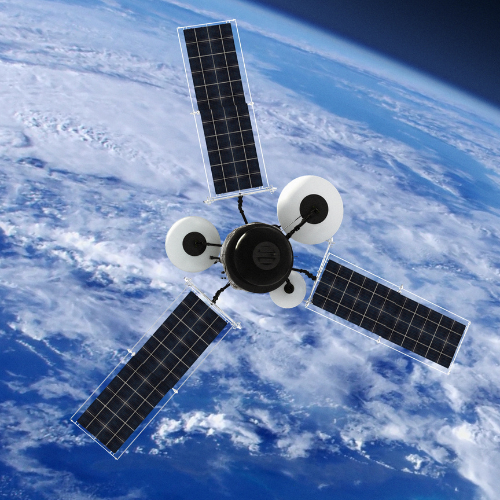
The SAR Satellite Imagery Solution
Envision Beyond's SAR (Synthetic Aperture Radar) Imagery leverages radar technology to provide high-resolution images in any weather condition. This capability is essential for industries that require uninterrupted data collection, such as agriculture, disaster response, and infrastructure monitoring. Unlike optical sensors, SAR is unaffected by cloud cover and lighting, making it a reliable tool for capturing critical data. Whether you're monitoring land use, assessing damage after a natural disaster, or tracking changes in terrain, our SAR imagery delivers consistent and accurate results.