Envision Beyond

Smart City Drone Solutions

Advanced smart city drone services by Envision Beyond provide aerial visibility for urban infrastructure monitoring, mobility analysis, public safety planning, and environmental assessment helping city authorities manage assets, improve safety, and make data-driven decisions across urban environments.

image

Enabling Smarter Urban Management with Drone Intelligence

Modern cities operate complex networks of infrastructure, transportation, utilities, and public spaces that require continuous monitoring and coordination. Traditional ground-based methods often struggle to deliver timely, city-wide visibility, especially across dense, fast-changing urban environments.


Envision Beyond’s smart city drone solutions deliver structured aerial intelligence that supports urban planning, infrastructure oversight, and public safety initiatives. By capturing high-quality visual data through repeatable drone operations, our services help city authorities assess conditions, identify issues early, and plan interventions efficiently. These insights enable better coordination between departments, improved service delivery, and informed decision-making aligned with long-term smart city objectives.

Key Benefits for Smart City Operations

image
Gain consistent aerial visibility across city infrastructure, public spaces, and transport networks to support informed urban management decisions.
image
Support public safety planning and emergency preparedness with aerial insights across high-density and high-risk urban zones.
image
Detect infrastructure damage, congestion, and environmental risks early to enable timely corrective actions.
image
Use accurate aerial data to support planning, zoning, infrastructure development, and sustainability initiatives.
image
Minimize manual surveys and ground inspections, improving efficiency across municipal operations.
image
Standardize monitoring across wards, districts, and departments for consistent oversight at city scale.
image

How Smart City Drone Services Work

  • Survey- High-resolution aerial data is captured across urban areas using planned flight paths to ensure coverage, accuracy, and minimal disruption.
  • Analyze- Captured imagery is reviewed to assess infrastructure conditions, traffic patterns, environmental changes, and urban activity trends.
  • Act- Insights are translated into practical intelligence supporting planning, public safety coordination, and infrastructure management decisions.

Core Smart City Drone Use Cases

image
Provide aerial visibility across roads, bridges, public buildings, and utilities to assess structural conditions, maintenance needs, and urban asset health without disrupting traffic or daily city operations.
image
Monitor traffic flow, congestion points, intersections, and transit corridors using aerial insights to support mobility planning, reduce bottlenecks, and improve urban transportation efficiency across peak and non-peak periods.
image
Support city authorities with aerial monitoring for crowd management, event planning, disaster response, and emergency preparedness by providing situational awareness across dense and high-risk urban zones.
image
Track land use changes, green spaces, drainage systems, and environmental conditions to support sustainability planning, flood risk assessment, zoning enforcement, and long-term urban development strategies.
image
Capture accurate aerial data for city planning, infrastructure expansion, redevelopment projects, and smart growth initiatives, enabling data-driven decisions aligned with regulatory requirements and urban resilience goals.

Service Offered

Agri_sevices

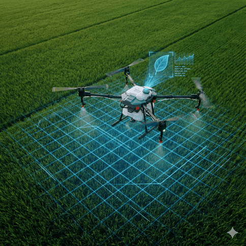
Agriculture Drone Solutions

Construction Drone Solutions

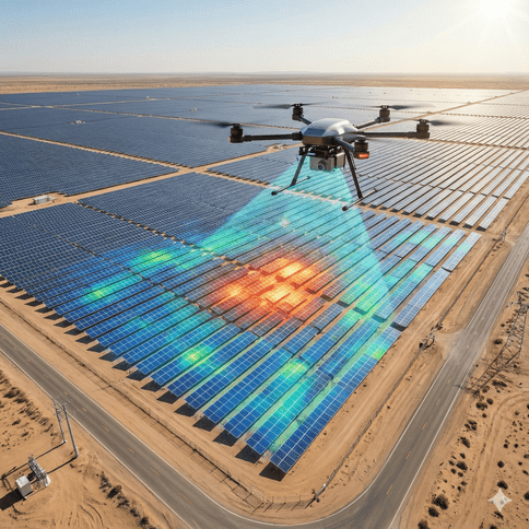
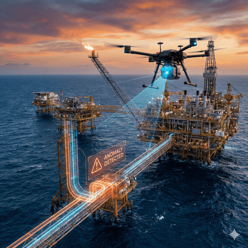
Energy & Utilities Drone Solutions

Oil & Gas Drone Solutions
Mining Drone Solutions
Healthcare_service
Healthcare Drone Solutions

Build Smarter, Safer Cities with Drone Intelligence


Clear urban visibility enables better city management. Envision Beyond’s smart city drone services help authorities improve safety, optimize infrastructure, and plan cities with confidence.