Transforming On-Ground Insight with Advanced Drone Observation
Accurate, timely aerial data is critical for modern operations. Envision Beyond’s drone-based observation services deliver high-resolution visual intelligence for asset inspections, site monitoring, and environmental assessment. By combining precision drone flights with structured data capture, we provide reliable visibility across complex, large, and hard-to-access environments. Our drone insights support safer operations, faster issue detection, and informed decision-making across infrastructure, industry, and public-sector use cases.
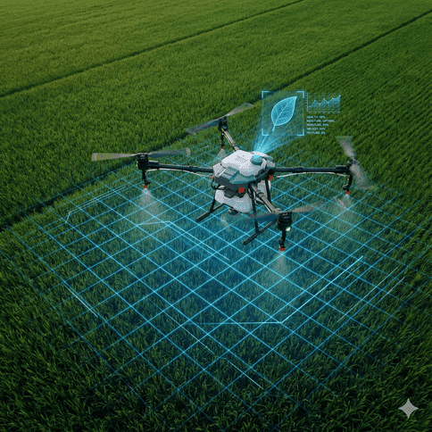
From Drone Data To Decisions
Mission-Led Operations
Flights planned around real operational outcomes.
Reliable Data Capture
Consistent aerial visuals from hard-to-reach environments.
Repeatable Workflows
Standardized processes across sites and timelines.
Optimizing Drone Missions for Operational Accuracy
Each drone mission is planned around defined inspection, monitoring, or data objectives to ensure purposeful, outcome-driven flights.
Reliable Aerial Data You Can Trust
Standardized flight and capture workflows ensure consistent, repeatable aerial data across locations, timelines, and operating conditions.
Reducing Risk Through Aerial Inspections
Drone inspections reduce manual exposure in hazardous environments while maintaining compliance with safety and operational standards.
Drone Services That Scale With Your Operations
Drone programs scale from single-site deployments to multi-location operations without added complexity or coordination challenges.
Aerial Data Structured for Immediate Use
Drone data is delivered in structured formats ready for review, reporting, and integration into existing operational systems.
Discover how Envision Beyond’s drone services deliver reliable aerial data that improves inspections, monitoring, and operational decision-making across complex environments.