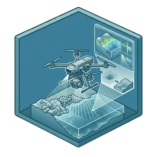
Survey-grade aerial and mobile LiDAR systems for UAVs, helicopters, and ground vehicles. Capture high-density 3D point clouds across any terrain — from power corridors to dense urban environments.
Integrated LiDAR Systems for Integrated LiDAR Systems the Field
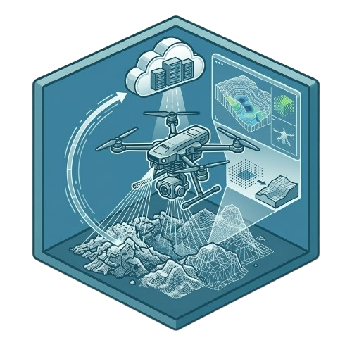
Envision LiDAR delivers fully integrated precision LiDAR mapping systems combining advanced laser sensors, IMU/GNSS navigation, and end-to-end cloud processing software
Every system is integrated to meet your individual project requirements — mountable on UAVs, helicopters, fixed-wing aircraft, ground vehicles, or backpack rigs. Tested, calibrated, and ready to fly.
Systems for Every Mission Profile
Whether mapping a single site or thousands of hectares, Envision LiDAR offers the right system for your platform, terrain, and data quality requirements
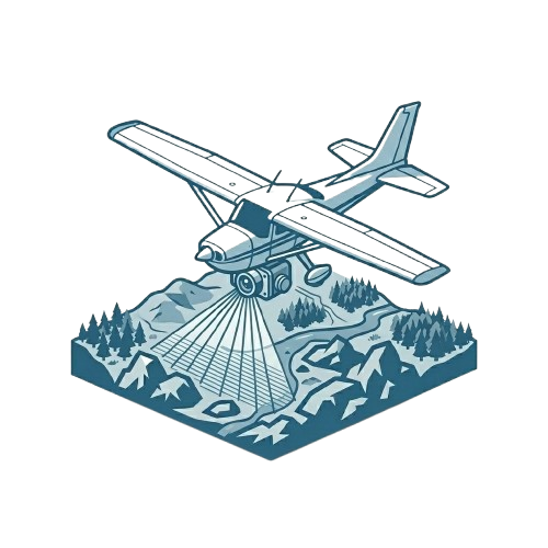
Compact, lightweight LiDAR systems designed for drone integration. Ideal for corridor mapping, site surveys, and inspections requiring agile, low-altitude capture.
High-endurance LiDAR systems for manned aircraft. Map thousands of hectares per day with long-range scanners and multi-return capability for dense canopy penetration.
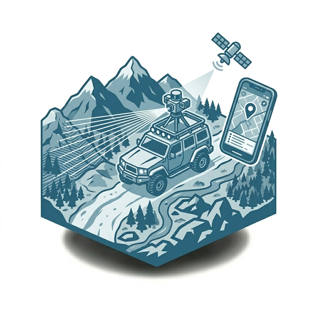
Roof-rack or vehicle-integrated mobile mapping configurations
Where Envision LiDAR Gets Deployed
Proven across industries where accurate 3D spatial data drives critical decisions.
Power Line & Utility Corridor Inspection — Capture detailed tower and conductor geometries, detect vegetation encroachment, and generate survey-grade terrain models along linear corridors.
Topographic Surveying & DEM Production — Generate bare-earth digital elevation models with centimetre-level accuracy for engineering design, flood modelling, and land management.
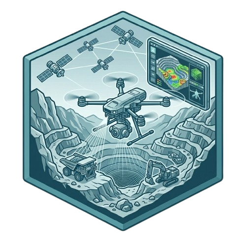
Mining & Stockpile Volumetrics — Rapid, accurate volumetric calculations for open-pit mines, stockpiles, and quarries. Monitor progress and subsidence with repeat surveys.
Forestry & Canopy Analysis — Multi-return LiDAR penetrates dense canopy to deliver ground models, canopy height data, and biomass estimation across large forested areas.
Urban & Infrastructure Mapping — High-density 3D models of urban environments for smart city planning, asset management, BIM workflows, and construction progress monitoring.
Disaster Response & Terrain Intelligence — Rapid terrain capture following natural disasters. Support emergency response, damage assessment, and infrastructure vulnerability analysis.
Ready to Unlock Precision with Envision LiDAR?
Transform how you capture, analyze, and act on spatial data with advanced LiDAR technology. From accurate mapping to real-time insights, Envision LiDAR empowers your business to work smarter and faster. Don’t miss the opportunity to elevate your operations.