In an era of fast climate change, rapid urbanization, and stricter regulations, organizations are rethinking how they track environmental conditions. Today’s challenge is not just gathering data, but turning it into actionable insight. Modern environmental monitoring solutions now rely on high-resolution satellite imagery, particularly optical satellite data and SAR (Synthetic Aperture Radar) imagery, to deliver reliable intelligence across land, water, and atmosphere.
This article explores how these remote sensing technologies are reshaping environmental analysis and how Envision Beyond environmental analytics helps enterprises apply them effectively.
Understanding Optical and SAR Imagery
Optical imagery captures sunlight reflected from the Earth’s surface in visible and infrared bands, enabling clear visual identification of land cover, vegetation health, and water quality. It provides highly detailed insight for mapping and monitoring visible environmental changes.
SAR imagery, by contrast, uses active radar signals that penetrate clouds and capture data day or night. This makes SAR ideal for consistent monitoring, even in cloudy or dark conditions. Together, these technologies deliver both surface detail and structural insight, ensuring data continuity regardless of weather.
Key distinctions:
- Optical relies on sunlight; SAR uses radar illumination.
- Optical can be limited by cloud cover; SAR is weather-agnostic.
- SAR can detect subtle deformations invisible in optical imagery.
Modern high-resolution satellite imagery now reaches sub-meter accuracy, enabling enterprises to identify changes in land use, infrastructure, or ecosystems with remarkable precision.
Why These Technologies Matter
1. Global, Continuous Monitoring
Unlike traditional ground surveys, satellite imagery provides large-scale, frequent coverage. Optical and SAR data complement each other when clouds obscure optical sensors, SAR fills the gap.
2. Fine Spatial Detail for Decision-Making
Environmental risks such as deforestation, subsidence, or erosion occur at fine scales. High-resolution imagery enables early detection and supports proactive management.
3. Multi-Sensor Insight
Combining optical and SAR data offers richer analytics, improving detection accuracy for environmental or operational changes.
4. Resilience to Weather and Time
SAR ensures continuous monitoring under any conditions, including night or adverse weather, essential for disaster response and emergency planning.
5. ESG and Compliance Reporting
Enterprises increasingly use satellite data to strengthen environmental transparency, providing verifiable, science-based reporting for ESG and sustainability initiatives.
Real-World Applications
1. Forest and Land-Cover Monitoring
Optical satellite data helps detect deforestation, canopy loss, or new clearings. SAR imagery penetrates clouds and canopy layers, revealing biomass or terrain changes.Together, they enhance land-cover classification accuracy and improve tracking of environmental degradation.
Practical steps:
- Define your monitoring area and baseline imagery.
- Use frequent revisits in high-risk zones.
- Automate alerts for tree loss or terrain deformation.
- Validate findings through local data or field checks.
2. Flood and Coastal Change Assessment
Optical imagery captures visual evidence of flooding and water quality when weather allows. SAR imagery tracks water extent and flood levels through clouds, ensuring all-weather monitoring.
Steps to apply:
- Map shorelines using optical and SAR data.
- Automate flood detection and water-level tracking.
- Set threshold alerts for shoreline retreat or flood coverage.
- Integrate outputs into dashboards for quick decision-making.
3. Infrastructure and Land-Subsidence Tracking
For utilities, transport, and mining sectors, SAR (Synthetic Aperture Radar) imagery provides millimeter-scale detection of ground movement through InSAR analysis, while optical satellite data maps physical infrastructure and visible damage.
Steps to implement:
- Acquire baseline optical maps of assets.
- Use SAR data for detecting subtle ground deformation.
- Set movement thresholds and trigger field inspections.
- Feed insights into maintenance and risk workflows.
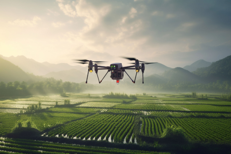
4. Agricultural and Vegetation Monitoring
Optical imagery supports NDVI analysis for crop health. SAR imagery detects soil moisture and structure, useful under cloudy conditions. Combining both improves yield prediction, irrigation planning, and soil management.
Steps:
- Use optical indices (NDVI) and SAR-based backscatter metrics.
- Automate alerts for drought or stress.
- Link data to farm or supply-chain planning systems.
Key Technical Considerations
- Resolution trade-offs: Sub-meter imagery offers precision but covers smaller areas.
- SAR wavelength: X-band provides detail; L-band penetrates deeper into soil or canopy.
- Revisit frequency: Balance cost and monitoring needs — high-risk areas may require monthly revisits.
- Image processing: Fusion of optical and SAR requires co-registration and filtering to remove false changes.
- Licensing and integration: Ensure imagery aligns with enterprise data policies and integrates into GIS platforms.
Cost and ROI Perspective
While high-resolution imagery involves investment, its value lies in enabling earlier risk detection, compliance assurance, and improved decision-making. Many enterprises use a tiered approach, moderate-resolution monitoring for broad coverage, and tasking high-resolution sensors for hotspots.
Define measurable KPIs such as hectares of deforestation, flood area, or subsidence rate to track ROI and justify operational spend.
A Strategic Framework for Enterprises
1. Define Monitoring Goals
Identify risks from water scarcity to deforestation and determine relevant performance indicators.
2. Establish Baselines and Revisit Frequency
Map your areas of interest and decide how often monitoring should occur.
3. Build Data and Analytics Pipelines
Select imagery providers, process data for accuracy, and develop change-detection workflows.
4. Operationalize Insights
Integrate alerts into enterprise dashboards, compliance reporting, and risk governance.
5. Refine and Scale
Evaluate performance, optimize thresholds, and expand to new geographies or assets.
The Future of Environmental Monitoring
The next frontier of remote sensing technology integrates AI and machine learning to automate analysis and fill cloud gaps through synthetic modeling. Resolutions are improving decimeter-scale SAR imagery and frequent revisit optical satellite data are now available. Together, they enable near-real-time monitoring of global environments.
In addition to forests and coasts, new use cases are emerging from underground change detection to air quality and urban heat mapping. Enterprises adopting these capabilities early gain a decisive edge in environmental intelligence and sustainability governance.
Conclusion
The fusion of high-resolution optical and SAR (Synthetic Aperture Radar) imagery is transforming environmental intelligence. These technologies offer clarity, continuity, and analytical depth empowering organizations to track changes, manage risk, and strengthen sustainability efforts.
Envision Beyond environmental analytics helps enterprises harness high-resolution satellite imagery and remote sensing technology to convert raw data into actionable insights. With these advanced environmental monitoring solutions, decision-makers can achieve operational resilience, regulatory compliance, and a deeper understanding of the planet they depend on.