Envision Beyond

Unmanned Aerial Vehicles (UAV)

The Sky’s the Limit: The Future of Unmanned Aerial Vehicles

Learn how drones are changing the landscape of surveillance, delivery, and environmental monitoring.

image

On-Demand Aerial Intelligence for Dynamic Environments

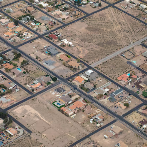
In industries ranging from agriculture to infrastructure inspection, the need for real-time, high-precision data is paramount. Traditional methods of data collection can be time-consuming and expensive, often lacking the agility required to respond to rapidly changing conditions. Envision Beyond's UAV solutions provide a flexible, cost-effective alternative that delivers high-resolution aerial imagery and data when you need it most. Our UAVs are designed to operate in diverse environments, offering the versatility to meet the unique challenges of your projects, whether you're mapping crop health, inspecting infrastructure, or monitoring environmental changes.
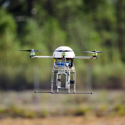
The UAV Solution

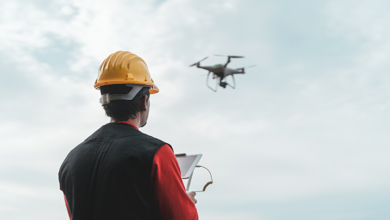
Envision Beyond's UAVs (Unmanned Aerial Vehicles) are equipped with advanced sensors and cameras, providing real-time data collection tailored to your specific needs. These highly maneuverable drones can be deployed quickly, accessing hard-to-reach areas and delivering precise, up-to-date information. With customizable payloads, our UAVs can be outfitted with the tools necessary for a wide range of applications, from high-resolution imaging to environmental sensing. Whether you're in agriculture, construction, or environmental monitoring, our UAV solutions offer the agility and precision required for modern data collection.

image

Benefits

image
Capture up-to-date aerial imagery and data for immediate analysis and decision-making, ensuring timely responses to evolving conditions.
image
Deploy UAVs quickly and efficiently, accessing areas that are difficult or impossible to reach by traditional methods.
image
Tailor UAV capabilities to your specific project needs, with a variety of sensors and payloads available.
image
Reduce operational costs compared to traditional aerial surveys and inspections, while maintaining high-quality data collection.

Features

image
Capture detailed images and videos from the air, providing the precision needed for accurate analysis.
image
Equip UAVs with the sensors and tools required for your specific project, whether it's thermal imaging, LiDAR, or multispectral analysis.
image
Programmed flight paths ensure consistent, accurate data collection over large areas, with minimal human intervention.
image
Benefit from real-time data transmission, providing immediate situational awareness and enabling quick decision-making.

Explore the possibilities with Envision Beyond's UAV solutions.

Contact us today at nvisionbeyond.com to find out how we can help you achieve your project goals with precision and efficiency.